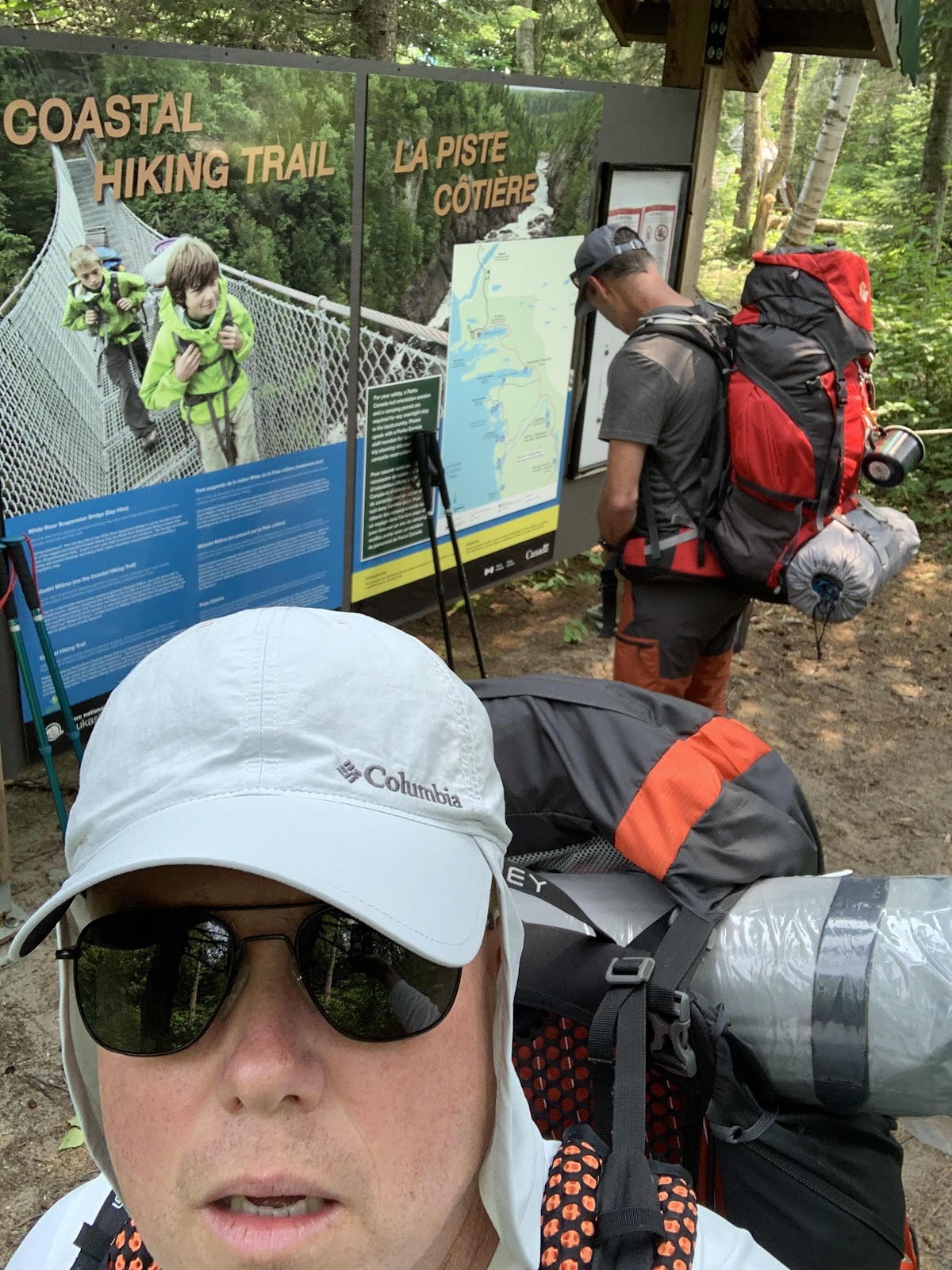
Let’s hit the trail. Our Day 1 plan was to make it to Willow River at approximately map kilometre 16. Now when you hear 16km, you think that’s a pretty reasonable day distance. Even at a slower pace, it seems a fair walk. This is Pukaskwa.


The first 2km were excellent and as expected. Then the detour. Yes, the boardwalk across the marsh was closed. We were not told this and we were not mentally prepared. However, it wouldn’t have stopped us from doing the hike and we prodded along. And prodded it was. Adding a 5 km detour through a swampy hot mess did little to boost our mood. Adding 5k and at least an hour of time, now put us behind the eight ball. An added factor in this bonus hike was the sheer energy loss and mental downer. We traded a 300m boardwalk “walk” for a gruesome gruelling grotesquely underestimated crawl around the worst of the swamp. The staff hacked out a path that was followable, but it totally zapped our time, energy and spirit. Sadly, the prospects of completing our hike as planned changed dramatically within the first hour of this multi day plan.
Back on the main trail, sweaty, tired and disheartened, we made good time to PH1 for a break. Platter Harbour is the first campsite you’ll see on the Costal Trail heading south. It’s beautiful. We snacked and tested the water systems.
We had covered only 4km on the map in over 2 hours. This is Pukaskwa. The boys and their fancy watches had us over 10k. But hey, we were backpacking and loving it! We pushed on and made it to the world famous White River suspension bridge. What a beauty. A highlight of the trip. By now it’s already getting later in the day and our energy is dropping. Carrying the weight of the packs was clearly not something the marathon runners weighed as heavily into their demeanour equations for this hike. Now it was the real deal. I found any one segment or any one day was never the issue, but the fact that the strain was cumulative, and that you would feel all previous days strain plus the day of, was what brought you down.
By plan A, we were still only 1/2 way to Willow and it was now around dinner time. The amazing late day light of the Superior region allows for some late day hiking, but pushing it to dark when your tired is not smart. We pushed on a big more. After a frustrating error in trail sign reading, we detoured down to CHF1 and found a happy couple rather nervous (we think they thought we had their campsite booked). Again, losing more time, we found ourselves with a decision by the time we got back on the trail and we route towards Hook Falls and our eventual destination of Willow River. The decision at HF was this: It’s almost 8:00pm and we have 6k to Willow. We are tired, hungry and there is a perfectly good campsite right here. We came to a quick consensus to make camp and try and make up our lost distance tomorrow.
I had a sneaky suspicion that our proposed trip plan might now be out the window from one small decision by the park, and one giant detour for mankind! Yes, the boardwalk detour was indeed looking like it might have some lingering effects.
The night at Hook Falls was awesome. We made camp, consumed some boil in a bags, enjoyed a campfire and some great stories. We now new what we were up against. The plan would be to rise and make it to Oiseau Bay for night 2. Yes, the plan would still be to make our reservation at Oiseau for night two. This would require a map distance hike of 21km. Keep in mind, the famous map warning of map distances are approximate. We would soon learn that 21k on the map equally something much more in reality. As we retired for the night, I think we all knew we had a big day ahead of us! No Shit Sherlock!
No comments:
Post a Comment